The state is a hiker’s dream. In fact, this hiker didn’t even know he was a hiker until he came to Arizona in his retirement years. In that time, I’ve hiked over 1300 miles that I can document in the MapMyWalk application. My first hundred miles or so aren’t in that figure as I had been hiking over a year before using MapMyWalk regularly. Doing the math, I’ve hiked about 250 miles a year, though not all in Arizona.
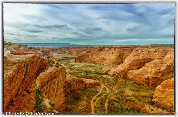
This post is about a changing path, a path from a sedentary work environment to one of more activity and the best health I’ve known in my life. Along the way, I’ve taken a few photos, many of which depict the paths I’ve walked (or as in the case of the opening photo, at least seen from above.) The view from the upper level of Canyon De Chelly features two prominent paths, a river and a road that runs through this beautiful country. Forgive the artistic appearance of this image. I used Nik Efex 2 to enhance the image and give it a split-tone effect.
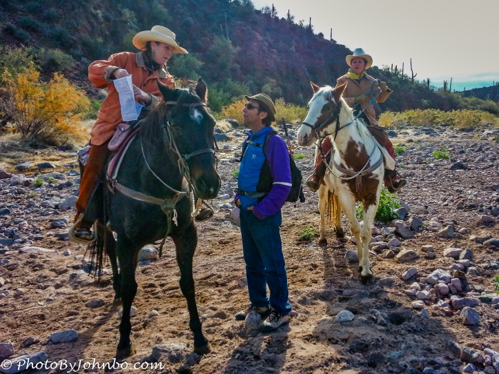 One of my first hikes, and the first of several in Spur Cross Ranch, found my two hiking friends and I asking for assistance with directions as we couldn’t figure out where we were on the rudimentary trail map. It turned out we’d taken the northerly spur on the trail instead of the westerly spur we thought we were on. The two ladies on horseback set us straight. We were to run into them again on the trail a little later in the afternoon. We must have looked like the neophytes that we were. They kept asking if we had enough water. >grin<
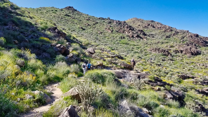 Though there are plenty of solo hikers, treks shouldn’t be a solo activity for safety’s sake. It only takes a misstep to twist an ankle or tweak a knee. Most of my hikes these days are as a hike leader for the Verrado Hiking Club. As a leader of the group, I get recurrent first aid training and with our team of hiking leaders, we alternate leading hikes in our favorite parks every winter.
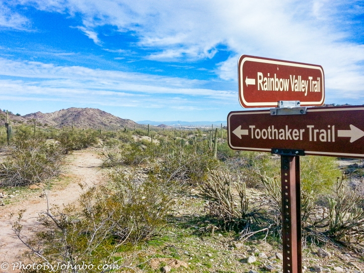 I have some special pride in this image of the junction of two paths. It was captured during a 100 Miles in 100 Days Challenge in 2013. My wife, Lynn, and I completed the challenge and we were presented certificates which the Maricopa County Parks provided. The certificates included the above image which they chose to feature on their certificates that year.
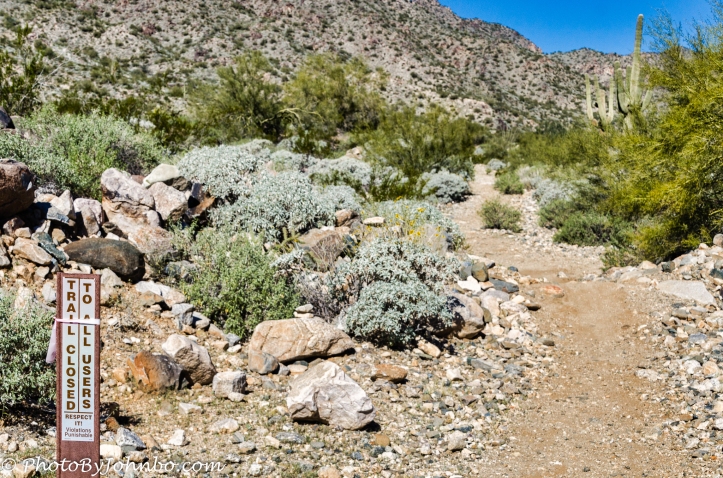 That brings us to the end of the trail. Thanks to Tina Schell for creating this challenge, number 12 in the new series. You can review her original challenge post here. All of these images are uploaded in a higher resolution. In most browsers, you can click on an image to enlarge it for better viewing.
John Steiner
You are an excellent hiker and a model for people like me!
Thank you! If you told me that 10 years ago, you would have been so wrong! -grin-
Terrific post John! Congratulations on having your photo selected and more importantly on your new healthy hiking habit 👍👍.
Thank you for sharing your wonderful hiking experience. Great photos! 🙂
Such beautiful scenes, John, and they certainly deserve to be enjoyed slowly and on foot!
Thank you!