
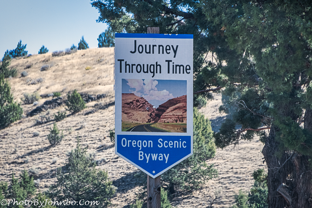
In September and October of 2020, our journey through Oregon found us in two of the three units of the John Day Fossil Beds. To visit these places, you’ll find signs like the one shown in the opening photo. If you were to travel the entire byway, you could begin at Biggs near the Columbia River, follow U.S. Highway 97, and then head east along Oregon State Highway 218. We traveled between Antelope and then along the John Day River as it paralleled U.S. Highway 26, through the town of John Day and on to Baker City. A complete description of this route can be found here.

The John Day River is the longest river in Oregon and the fourth longest free-flowing river in the contiguous US. At 284 miles (457 km), the river is a tributary of the Columbia River in northeastern Oregon. Originally named by the Cayuse people, native inhabitants of the region, it is known by them as the Mah-Hah River. You will find plenty of river views along this scenic byway.

Along the way, on our eastbound trip, the river narrows for us As the river travels west and north, it picks up water from streams along the way, eventually finding its way to the Columbia River east of The Dalles. River rafting, fishing, and all forms of boating are popular pastimes for vacationers.

At an overlook off U.S. Highway 26, the scenic byway can be seen curving through Picture Gorge. That large expansive valley was created by the ebb and flow of the John Day River over the millennia.

The byway travels through rolling hills and tall palisades, eventually ending at Baker City. The entire route is 286 miles (480 km), and travelers who like to take their time and enjoy the views along the highway could easily spend 8 hours or more on the trek. Our photo journey was relatively unmarred by the haze that persisted from the western wildfires on this day. For some reason, the original version of the image above was uncharacteristically hazy compared to the other photos taken that day. As a result, I present an altered reality version with sky replacement.

The rolling hills along the way present surprises for photographers like this abandoned barn. There is a ghost town at Whitney. Once a mining town, and a hub for cattle operations, all that remains of Whitney are abandoned buildings. To get there, though, you’ll have to detour off U.S. 26 at the Austin House Gas Station, east of Prairie City. Take Oregon Highway 7 about 16 miles (26 km). Google Maps identifies the location as Whitney Ghost Town.

As I present a final view of the palisades near Sheep Rock, I invite you to click on any of the above images to visit the gallery of images on my Flickr page. There you will find additional images in the gallery I captured on the Journey Through Time Scenic Byway. All images were processed in HD format for a more detailed view and include photographic metadata for those who might be interested.
John Steiner

What an amazing hiking place. Thus would be a great outing. John Day River is such a great site..makes me want to go there.
It is, indeed. Thanks for taking the time to visit and comment.
Love your camerawork. If I could still hike that’s somepleace I’d love to be.
We will be back in Oregon sometime next month to check out some places we missed on this trip.
Thanks for the compliment.
I’m a big fan of the US scenic byways and often seek them out when planning a road trip. My husband, who does most of the driving, is rather less of a fan as he’d prefer to get from A to B quickly and then get out of the car to enjoy his surroundings. But as he delegates route planning to me, he has to accept at least a few such drives on any trip 😉 This drive looks wonderful and would definitely be on my itinerary!
We are embarking on another western road trip in a couple of days and have several scenic byway journeys to add to our collection.
Thanks for stopping by and commenting.
Very easy to see why it could take so many hours to cover this scenic route! And the slower you go, the more you’ll see!
Indeed, that is the joy found in traveling scenic byways!