Williams County, North Dakota.
Williams County and Williston in North Dakota have ties to our family. In fact, I was born in Williston. When I was born, our family (those who hadn’t already left the nest) lived on a farm about 10 miles (16 km) west of Williston on Highway 2. I was a latecomer to the family, some 14 years after my youngest sibling, and when I was two, we moved to Minnesota. As a result, I really don’t know a lot about the county. Last year, we spent some time in Western North Dakota.
Near the confluence of the Yellowstone and Missouri Rivers, these two forts are about 7 minutes apart on state highways, but in the 1860s, it was only about a 2-mile (3.2 km) walk between the two forts. At first glance, one can wonder why there would be two forts so close together. It all boils down to the purposes of these two fortresses.
Fort Union is a National Historic Site, and on the day of our visit, docents were there to provide information on the fort which was actually a trading post, not a military installation. Being close to two major rivers, traders used the fort to sell or trade their goods. The fort was an important trading post between 1828 and 1867. According to the National Park website, the post was a sign of peaceful coexistence between several Northern Plains Tribes. In the photo above, the docent holds a buffalo robe. The post typically traded over 25,000 of these robes in any year.
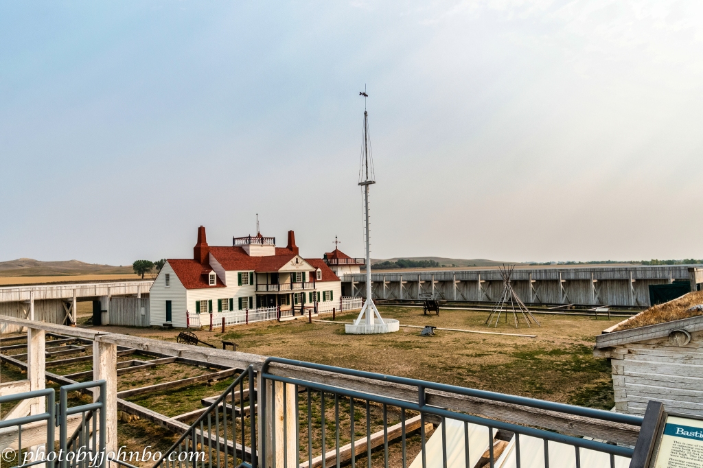
The fort is a reconstruction after much research and archeological digs at the site. In 2007, the reproduction flagpole snapped. Built for the reconstruction in 1985, the fort had gone almost 100 years without a flagpole. On June 20, 2009, the replacement flagpole was dedicated. The major work of the 350-hour reconstruction projected was provided by the Fort Union Muzzle Loaders.
The trading post is located just inside the main gates to the fort. John Jacob Astor’s American Fur Company funded the build in the late 1820s, and was responsible for the operation of the fort and attracting a large number of visitors from around the world to this trading center, one of the most important in the region.
As is common in the National Park Service, placards describe the function of the various buildings and rooms in the reconstructed fort. At first, the Native Americans in the region were peaceful toward the white settlement, but by the 1860s, many of the tribes became openly hostile to the white settlers. It was interesting that in the earlier years, the traders provided weapons to the tribes in exchange for their furs.
Part of the reason for an increase in hostilities was the political and social change brought about by the influx of European and American settlers. With the unrest, the post could have been given over to the military to protect the traders and settlers on the Missouri River. General Alfred H. Sully was given the responsibility of protecting the area.
He decided that the area would be better served by a new fort closer to the confluence of the Missouri and Yellowstone Rivers. Part of the construction materials from the new fort was taken from Fort Union as it was dismantled and moved to the east for the construction of Fort Buford.
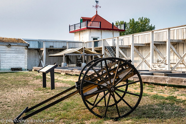
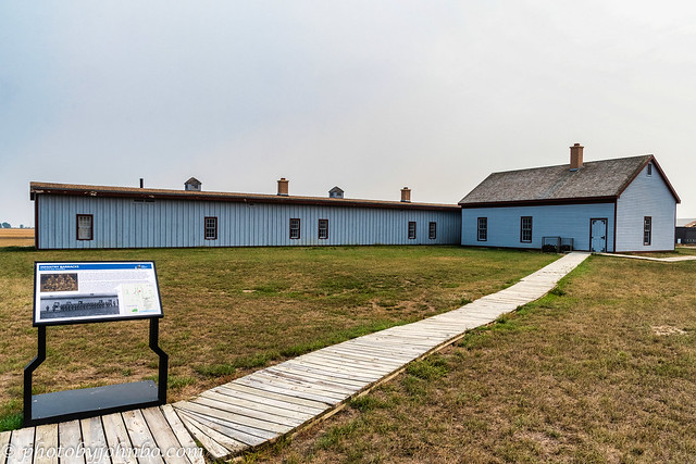
Unlike Fort Union, Fort Buford is a State Historic Site. I’m not sure of the reason, but after the short drive to the fort, we discovered that the site and buildings were closed. There are no gates or fences, so it was possible to walk around on the many boardwalks to read the placards that describe the functions of each building.
General Sully earned a reputation for excelling in bloody reprisals with the Sioux tribes. When he and his troops arrived in the area, they garrisoned at Fort Union and guarded the supplies needed by their army.
Instead, he chose to build a new fort closer to the rivers. Construction started in 1866 using cottonwood from the nearby rivers and adobe. You will find an interesting article about Fort Buford and its development and history here.
Another article here tells of the history of murder and suicide at Fort Buford. In its 29 years of service, the fort had more than its share of tragedies, both personal and on a larger scale. Sitting Bull attacked the construction regularly during its first years.
The article goes on to reference the murder of Corporal John Hartwell, shot and killed by Private Basil Williams. The private was found guilty of murder and was taken to the Cass County Jail in Fargo. While awaiting transfer to prison, Private Williams hung himself in his cell on July 16, 1894. More details on this one of several tragedies are outlined in the article.
For those interested in the details of the photography, you can click on any of the above images to pixel peep on my Flickr site. Alternatively, you can click here to visit the album to view all of the images. In next week’s Travel Tuesday post, we visit the site of the confluence of the Missouri and Yellowstone Rivers. There is a well-equipped visitor center there with much history of the region and the importance of this major waterway junction.
John Steiner


Interesting to read the history of these two sites. We often enjoy visiting such places on our US trips, and find that the NPS in particular does a great job of presenting them. I guess we need to view the history of that time and place through the lens of that period, to understand what was done and why. Today we might deplore the way the native people were treated by the settlers but I can easily see both why the tensions caused the second fort to be built, and why the native people resented and attacked it.
Indeed, our so-called “manifest destiny”, a mixture of racism and nationalism created and perpetuated many a broken treaty.
Thanks for the history lesson and great images John. Looks like moving the fort wasn’t a great idea.
Indeed! Thanks.
😊
On a small scale this is what has happened over much of North America. It is very similar to the history of Canada. Thanks for this informative post.
Those forts have an interesting story, for sure.
Excellent post John, history and photos!
Thanks, Robert! I love to visit and photograph these historic places.