

Albuquerque, New Mexico.
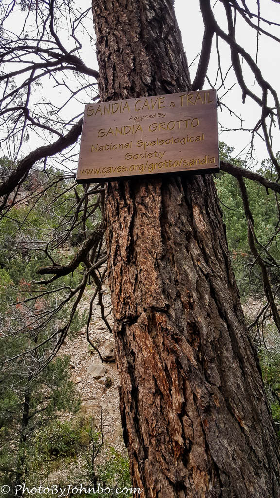
After visiting Carlito Springs, (you can read about that hike here), we headed toward Sandia Cave on the eastern slopes of the Sandia Mountains. A slow, somewhat tedious drive on the service road led us to the trailhead where there was plenty of open parking on the day we arrived for our short hike. Shortly after leaving the trailhead of the Sandia Cave Trail, the view through the trees opens and reveals a stone bluff. High on the bluff is a cave opening that marks the destination of the 0.5 mile (0.8 km) Sandia Cave Trail. Only a sharp eye will spot the cave opening in the wall. One might, however, spot the metal staircase that leads to the opening.
The trail is well marked and culminates in a stone staircase that leads to a metal spiral staircase that opens into the cave mouth. If you look near the right edge of the stone in the image below, you can just make out some narrow vertical lines. Those lines are painted the same color as the rock and they are the vertical supports for the metal staircase at the mouth of the cave.

The hike goes quickly, upward all the way from the trailhead, but it’s an easy uphill. On the way, views of Las Huertas Canyon open below. The USDA Forest Service Website recommends daylight visits. Cave explorers should bring appropriate safety gear and be sure to check with the local ranger district to confirm the status of the cave before beginning exploration.

Discovered in 1936, subsequent explorations in the cave gave up stone arrow and lance points, basket scraps, moccasin bits and even skeletal remains of Ice Age animals. No human remains were discovered in the excavations that soon followed the cave’s discovery. On the day of our hike, when we reached the cave mouth, a man was standing at the top of the circular staircase. He advised us that he was waiting for two of his friends, spelunkers who were depending upon this gentleman to summon assistance if they didn’t return from their exploration. The view from the mouth of the cave is featured below.

Stepping further into the cave, I snapped another flash image using my cell camera. The narrow opening at the end of the range of light wasn’t attractive enough for me to follow. I will leave that exploration to true cave explorers, those equipped with the proper safety equipment to challenge the cave.

The spiral staircase is sturdy and well enclosed for safe transit by young and old alike. In the image below, my wife, Lynn (facing camera) and the rest of our party descend back to the trail ledge.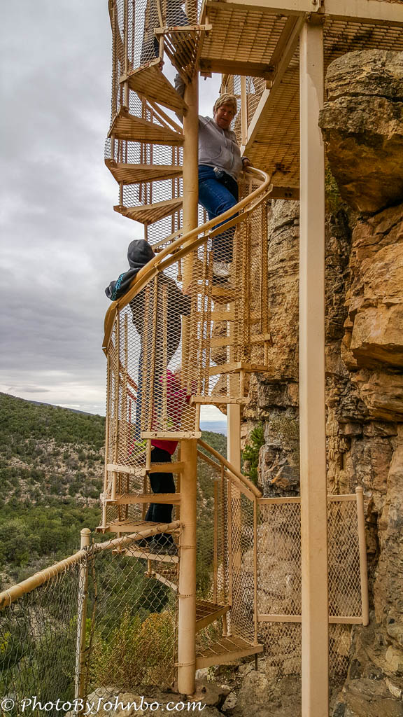
Looking down from the trailhead, one gets a good view of SR165, the service road through the Cibola National Forest. The road requires high clearance vehicles and is open year round, but the highway may not always be cleared. SR 165 is 17 miles (27.3 km) long, and the location of the Sandia Cave trailhead is well marked, approximately 5 miles (8 km) from one end of the road and 12 miles (19.3 km) from the other end of the road.

This short hike was combined with the Carlito Springs hike on the same day. Both these short hikes are well marked and easy walking/climbing. They provide glimpses of life in earlier times in New Mexico.
John Steiner

Looks like a fun hike!
An easy walk with an interesting destination. 😀
Looks like another worthy hike! You’ll have to go back with a fancy forehead flashlight and check out some of the cave. Happy Travels!