
Devils Lake, North Dakota.
As a volunteer for Civil Air Patrol, I found myself at a week-long activity in Devils Lake, North Dakota. During my “tour of duty”, I was given one morning off assignment and I went looking for something to photograph. It was an opportunity to travel to the south shore of North Dakota’s largest natural lake.

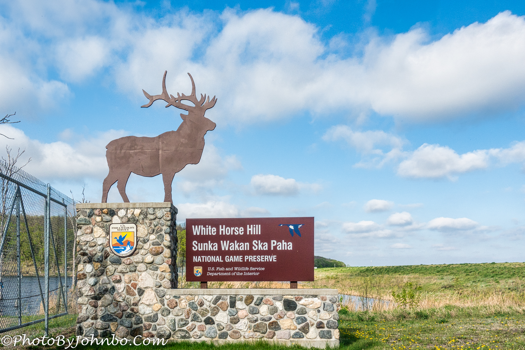
In planning for my trip, knowing I’d have some time off to explore, I reviewed online maps and aviation charts to see what I might find interesting. On the aviation chart for the area, I saw a reference to Sullys Hill National Wildlife Refuge. Though that name is still printed on charts, it has been changed. That story of the name change and the original naming for General Alfred Sully, a veteran of the Civil War and the Indian Wars, was told on my blog here. Given the history, that name change was long overdue.

White Horse Hill is a great place to photographically capture bison, elk, prairie dogs, and many varieties of birds native to the area. Viewing platforms provide safe and secure viewing areas for visitors to the park.

One of those viewing platforms can be found at the top of White Horse Hill, the highest point in the park, originally named a National Park by President Theodore Roosevelt in 1904. To see that viewing area, though, you’re going to have to work for it. There are about 100 steps to the top, and it’s a steep climb. You’ll note there are four rest stops on the climb. I found that I needed two of them to take a break and catch my breath. Visit my Flickr site to see a selfie captured from the top of White Horse Hill.

The views from the top provide a 360-degree panorama of the park, now part of the U.S. Fish and Wildlife Service, it went from being a National Park to a Big Game Preserve in 1914, then to a National Game Preserve in 1931. From that hilltop, you can see much of the park’s 1,674 acres. If you look closely and “pixel peep” at the image above on my Flickr site (click on the image to do so), you’ll see the town of Fort Totten where you can visit one of the most complete original forts, and even spend the night in a hotel that was once part of the fort.

Featured in a Cellpic Sunday a few months back, I built this panoramic image from two cell phone images. From this vantage point on the south shore of Devils Lake, you can barely see the outlines of buildings in the city of Devils Lake on the north shore of the lake.

On the day of my visit, I didn’t see any elk, but I was treated to a herd of bison grazing near a wetland just south of the lake. The park features a 4-mile (6.5 km) auto tour, as well as many hiking trails. Bring your camera with a long lens to capture some of the 250 species of birds captured in the park. I had my Sony camera with me, but the birds kept well out of reach of the shallow zoom on my Sony. My Nikon with the 300 mm lens was tucked away at home since I was traveling light for the activity that would take most of my time.

I arrived at the park before 8 AM only to find that they don’t open the gates until 8 AM, so I drove through Fort Totten until the main gate to the preserve was open. Along the auto tour route, I spotted these early risers in the prairie dog community that parallels the roadway.

The visitor center looks to be a very nice facility, however, it was closed due to the pandemic. I’ll have to save it for my next trip to the area. I took several more images that I captured in 2K HD and put them on my Flickr site for you to view. You can see (and scroll through) the entire album here.
John Steiner

Great views and lovely to see the bison even if the elk eluded you!
I’ve yet to see an elk in North Dakota. Maybe some day. >grin<
What a wonderful opportunity to explore a beautiful place!
Searching for Fort Totten sent me completely elsewhere, on returning to North Dakota I found this old fort well preserved and surely interesting to visit.
I also have a post specifically featuring the Fort Totten Historic site. You can find the story and photos here: https://photobyjohnbo.wordpress.com/2021/07/13/fort-totten-historic-site/
I wasn’t sure but it did sound familiar, actually I had already commented on this previous post. It shows a certain consistency in your articles and my interest in them 🙂
I should have looked at the comments! >grin< Thank you for your interest.