Last week I featured an image captured from the trail’s end at the top of Pyrite Summit Trail and its commanding view of the valley west of the White Tank Mountains. During the 740 ft (225 m) ascent, there were many views of the trail up ahead that I captured along the new Pyrite Trail. By the end of the month, I hope to feature a dronie image or two of the Arizona desert. I’ve first got to find a way to carry the drone in some kind of backpack as for now, it’s in a shoulder strap case that wouldn’t be very conducive to shlepping up a trail, both hands filled with hiking poles and a backpack filled with water, first aid kit, etc.
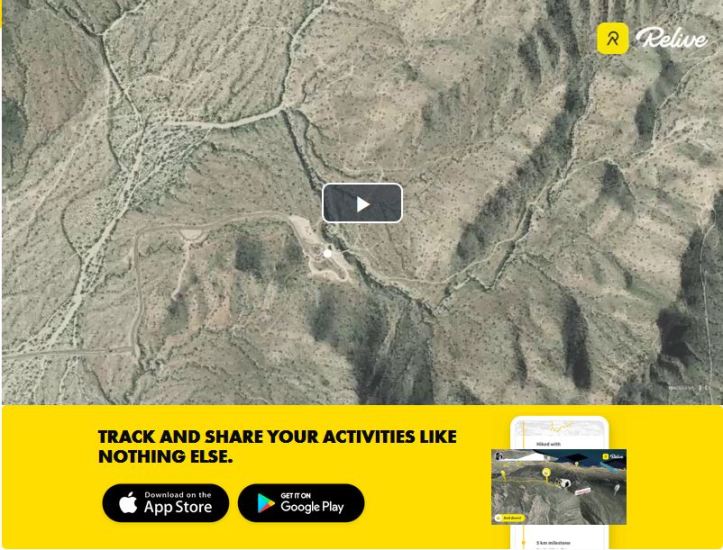
To track my hikes, I’ve been using a smartphone app called “Map My Walk” since August 2013. In recent months, another company has partnered with the folks who provide Map My Walk to create topographic “videos” of the hikes I record. This hike was some 3.5 hours, but you can “relive” it with me in only a few seconds. Click on the image below to view the video.
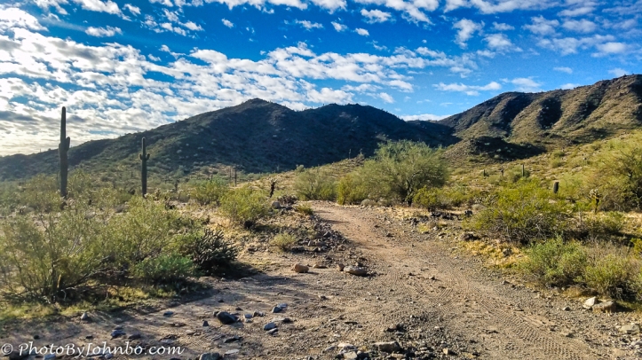
About the photo: As we started our westward trek up the slopes, we could see the trail winding up through a saddle between the two small peaks ahead. We would be passing through several “saddles” toward one of the western edge peaks, right of this picture and not visible from this vantage point as it’s hidden by the closer peaks on the right anyway. This image was captured with my Samsung S7 cell phone and processed via Lightroom 6 and Luminar Flex. The rule for Cellpic Sunday is simple. The image must be captured on a mobile device.
John Steiner


What a beautiful blue sky… What a shame to trade all this for a flight to one of the coldest places in the world. See ya’ there!
Wor5h it to be with family for the holidays! See you soon!