Almo, Idaho.
In southern Idaho, about 5 miles (8 km) north of the Utah border as the crow flies, the City of Rocks has tracked visitors since the 19th century as settlers traveled through the area westbound via the California Trail.
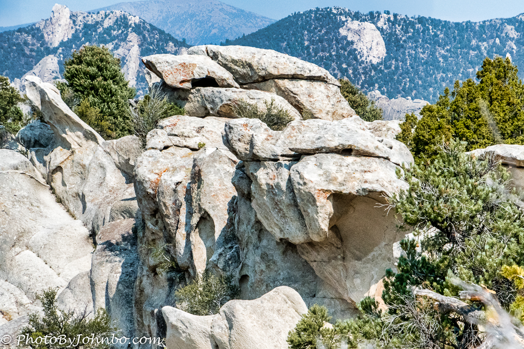
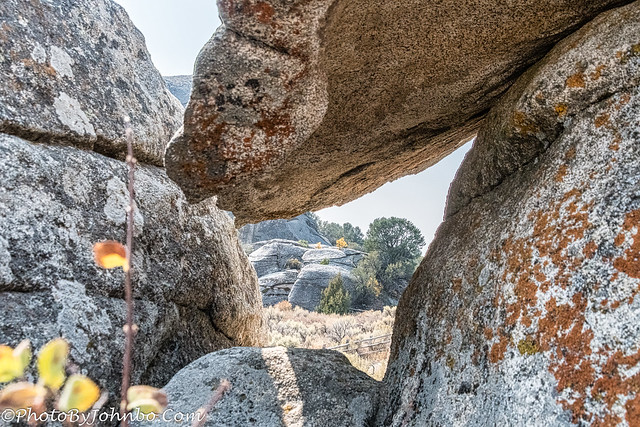
Our modern “steed” traveled part of that same trail, now paved in parts on the City of Rocks Back Country Byway. I will feature more about this scenic byway in a future post, but this post is about the unique rock outcroppings that have come to be known as the City of Rocks. The opening photo features an arch that looks like the folding fingers of a fist.
Our first views of the “city” came about at a pull-off on the byway. The skies were still hazy from those western wildfires that plagued our images for much of our road trip. But below those hazy skies, in the distance, we got a glimpse of the “suburbs” in the City of Rocks National Reserve.
The panoramic view above is a closer view of the unusual landforms in this area. According to the National Park Service, the outcroppings are the results of weathering, slope movement, and Erosion. The geologic description of the reserve can be found here.
Westbound settlers traveling the California Trail left their marks on rocks nearest the trail. Many of those rocks still bear this graffiti from the 1800s. Trails around some of the largest rocks allow today’s visitors to view the inscriptions close up… but please, don’t leave any of your own. There are signs letting everyone know that there is video monitoring. At least to this writing, they have not had to resort to fences to protect the writings created over a century ago.
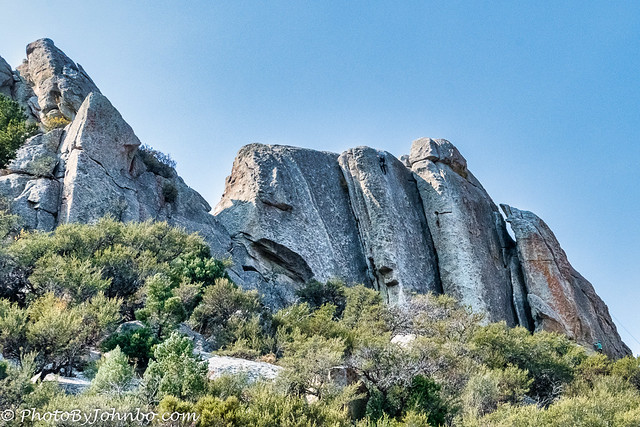
What you can do, if you have the equipment and desire, is climb some of the taller rocks in the reserve. From the NPS website, climbing is allowed on established routes or to just “scramble around.” (Their term). If you are an experienced climber and wish to place new permanent anchors, you must first apply for a permit. There are also certain rocks and routes that are closed seasonally due to nesting raptors. Be sure to do your homework before you start “scrambling around” on the rocks.
Though the haze kept the skies from their usual vibrant blue, the trees were doing their part in the color arena. We happened to pick a great time for catching autumn colors.
Hikers and mountain bikers will find both easy and difficult trails. One trail you might find most informative is the 0.6 mile (1 km) Geological Interpretive Trail. A dozen stations along the trail. At the end, there is a short loop where the trail then retraces the route back to the starting point, about 1.2 miles (2 km) total distance.
Probably the most difficult hiking trail is the North Fork Circle Creek trail that winds some 6.3 miles (10.1 km) through the reserve. There are several mountain bike and horse trails, and for those wanting to take in more of Idaho’s beauty, nearby Castle Rocks State Park hosts several opportunities for hiking, biking, and horseback riding.
This week’s post takes full advantage of the larger number of images I can feature by using my Flickr account. Though this post features eight images captured in the reserve, I have posted 24 HD images in a Flickr album for you to view. To get there, simply click on one of the images above. From there you can scroll through the gallery. If your computer or smart phone has an HD (1024 pixel) or less display, you can click on each image to get a zoomed-in view. Of course, all of the image metadata is available for those who enjoy knowing such details.
On another note, thanks for sticking with me on this journey of some 8 years and counting. There are many more images to come.
John Steiner


Interesting – we visited a City of Rocks in New Mexico so when I saw your title I assumed this was going to be about the same place but it seems there is more than one such ‘city’ 😀
I’m going to have to find out where that is in New Mexico. Maybe I can put it on my agenda for our next trip through this November.
Thanks for the tip!
It’s in the south of the state – we stopped there on our first day, driving from El Paso TX to Silver which is a picturesque little town and also worth including on your trip 🙂
Thanks!!
This seems to be a place whose name is self-descriptive. Rocks well photographed!
Thanks. Indeed, it is appropriately named!
Thank you for taking us there. I love the first image expecially!
Next to the opening image.
Nice start for the autumn colours, even if we would like them a little later.
Delightful tour through the rocks.
The autumns colours are a beautiful addition to these impressive natural sculptures!
I think it’s the perfect time of year to visit.
[…] The City of Rocks Backcountry Scenic Byway winds its way around the Albion Mountain Range in southern Idaho. The 49-mile (79 km) journey starts at the city of Albion and ends at Oakley. We picked up the byway at Almo and headed toward the namesake and major attraction on the byway, the City of Rocks. Last August, I shared some photos of our visit to the City of Rocks. You can refresh your memory here. […]