Portland, Oregon.
Probably one of the most traveled scenic byways in the United States, this highway was constructed in 1913 and features 70 miles (112 km) of scenic wonders. Waterfalls and overlooks of the gorge entice many millions of tourists every year. Head out of Portland on I-84 and take the exit to Troutdale at exit 17. Pick up the Scenic Byway on U.S. Highway 30.
This journey was undertaken in early October 2020, so the visitor center at Troutdale (which wasn’t easy to find) was closed down anyway. Your mileage may vary. We were also concerned when we learned that most of the stops along the way had restrooms closed. Fortunately, a couple of stops along the way continued to have restroom services. Plan ahead, just in case.
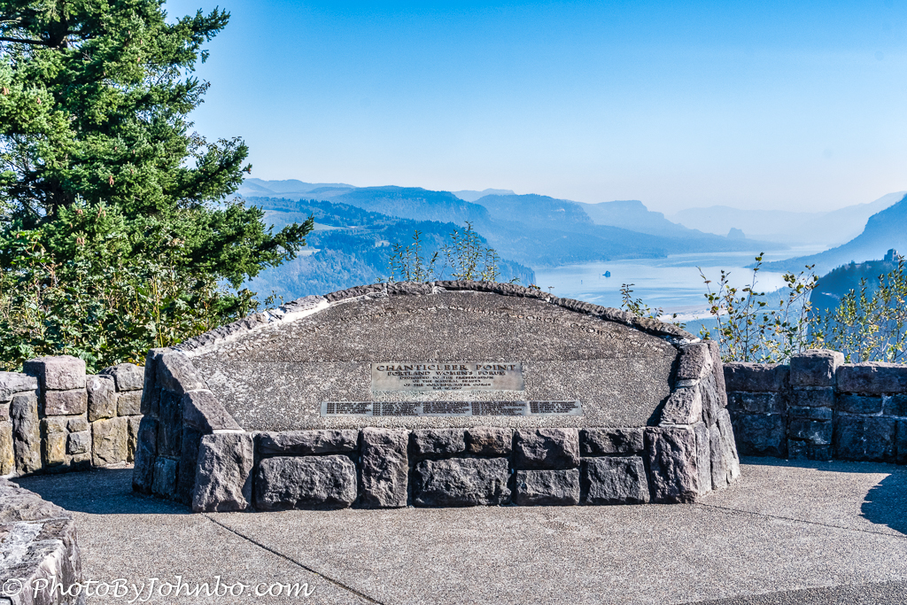
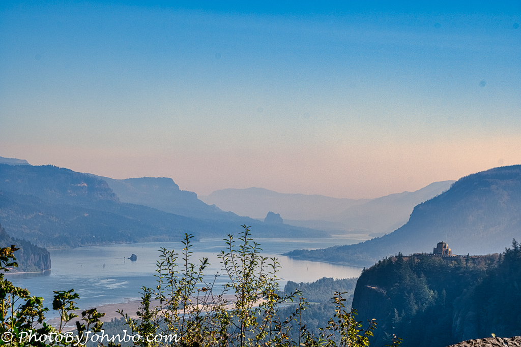
Our first stop along the route provided our first scenic view of the Columbia Gorge at Chanticleer Point. The official name of the site is the Portland Women’s Forum State Scenic Viewpoint. As was the case on many of our days on this journey, the wildfires in Oregon resulted in those hazy, smoky skies that limited visibility of the gorge. Luminar’s haze filter did its best to remove the worst of the haze, but those scenic vistas suffered for the loss of definition.
Crown Point, the next stop along the highway, features the Vista House. As you can see from the photo above, the building is prominent on the rock cropping on the right.
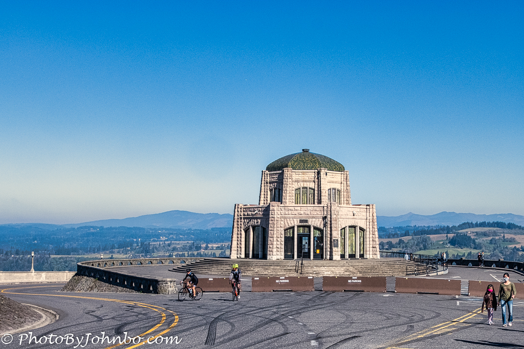
Though the museum was closed during the pandemic, they didn’t close those spectacular views of the gorge some 733 feet (223 m) above the river. Vista House was completed in 1918 and today it is a museum honoring the pioneers who traveled the Oregon Trail from west of the Missouri River through Kansas, Nebraska, Wyoming, and Idaho and from there into the Willamette Valley in Oregon.
After five years of reconstruction, the Vista House opened in its current configuration in 2005. It is listed on the National Register of Historic Places. There is a roadway that loops around the building, though it was blocked off on the day of our visit. I don’t know if that is a consistent roadblock or was placed for the duration of the pandemic. In any case, there are plenty of parking spaces on the approach to the building and it’s only a short walk to the beautiful views of the valley below.
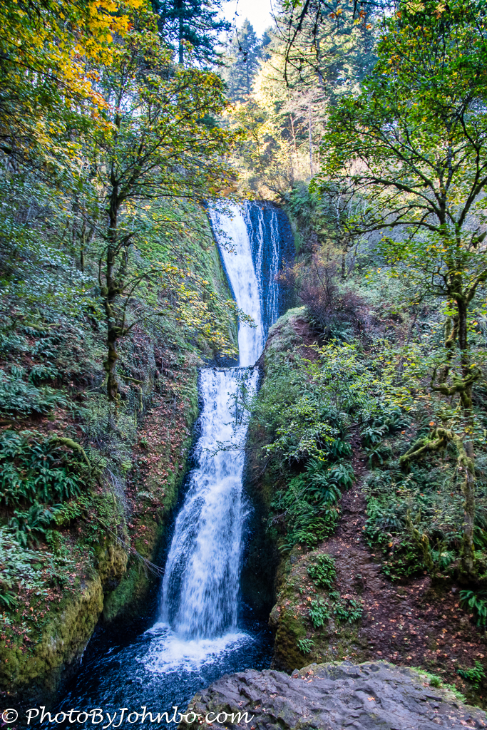
Of course, the views of the Columbia River Gorge are popular, but the scenic byway was built to allow drivers to see the many waterfalls on the streams and rivers flowing into the Columbia River. The image above is of Bridal Veil Falls, probably the second most well-known falls on the highway. There is a short hike to and from the parking area to the permanent viewpoint near the waterfall. Expect to descend into a valley and to climb upon your return.
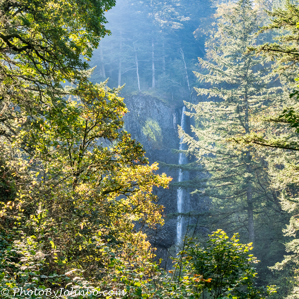
We were disappointed that the most photographed waterfall was at Covid-defined maximum capacity and there was no place left to park to wait to visit Multnomah Falls. There were plenty of other waterfalls to see, even with compromised attendance rules. I will share but a few of those waterfalls for you on today’s journey. Latourell Falls, for example, is about 250 feet (76 m) and is visible from a pull-off on the highway, but for a closer look, a hiking trail meanders to a better viewpoint.
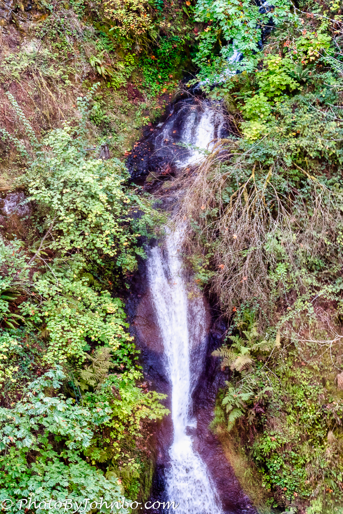
Shepperd’s Dell is a small canyon that is viewable from a bridge that crosses the dell. Created by a creek that features two large waterfalls, the dell is part of Shepperd’s Dell State Park.
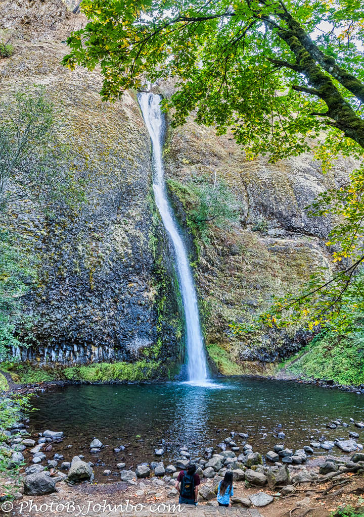
Our last stop on this section of the Columbia Gorge Scenic Byway features a view of Horsetail Falls. Though this waterfall is only 176 feet (54 m), the viewpoint is so close that I captured four landscape (horizontal) format photos from top to bottom and stitched them together as a vertical panorama in Lightroom. Had I not done that, the final image would have been exceedingly narrow, reminding me too much of a cell phone vertical image.
I conclude this week’s Travel Tuesday post with a “cliffhanger”. You see, dear reader, The byway is built into two sections separated by a few miles on I-84. Rejoin I-84 at the onramp at mile marker 35, then ride the Interstate for 34 miles (55 km). Leave I-84 via exit 69 at Mosier, Oregon, and pick up highway 30 again from there. There are another 17 miles (27 km) on the scenic byway. In a separate post, I will share images from the one major viewpoint that we visited on that section of the scenic byway, Rowena Crest Viewpoint. Stay tuned…
John Steiner
A friend of mine in Portland, OR took me along this route when I visited her a few years ago. Thanks for taking me again virtually!
I wish we could have seen more, but with Covid, they had some limitations. It gives us an excuse to revisit later.
Terrific photos. I know all those area so well. My favorite falls if Horsetail and Latourell Falls. I’ve not been there since Covid began. It’s nice to know the views are still stunning. 😀
Thanks for stopping by and commenting. I am looking forward to returning again when I can see all the falls the highway has to offer.
Such stunning scenery, John, and I cannot wait to see what the next post has in store for us!
Thanks. Glad you enjoyed the post. Oregon is a beautiful state!
A native of the Pacific Northwest, I have been through the Columbia Gorge perhaps a hundred times. More than once I have stopped to photograph these same falls. The light is always challenging and, I must admit, I have never been satisfied with results. Multnomah and Horsetail Falls, in particular, are my most frequent photo failures.
Someday I’d like to try my luck again. I have to admit capturing those waterfalls is quite a challenge for a photographer.
Excellent pictures….they are as wonderful as the place they depict….i have put up some pictures on my site too..https://travel-along.in/….maybe you could check them out too….no comparison to your pictures…yours are just awesome….
Very nice! Thanks for sharing.
Glad that you liked them…are you following my site?